


“I’ve always preferred having a physical map on hand, and this road atlas is exactly what I needed. The maps are detailed, easy to read, and make planning longer road trips so much easier. It’s reassuring to have a reliable reference with me instead of depending entirely on my phone.”
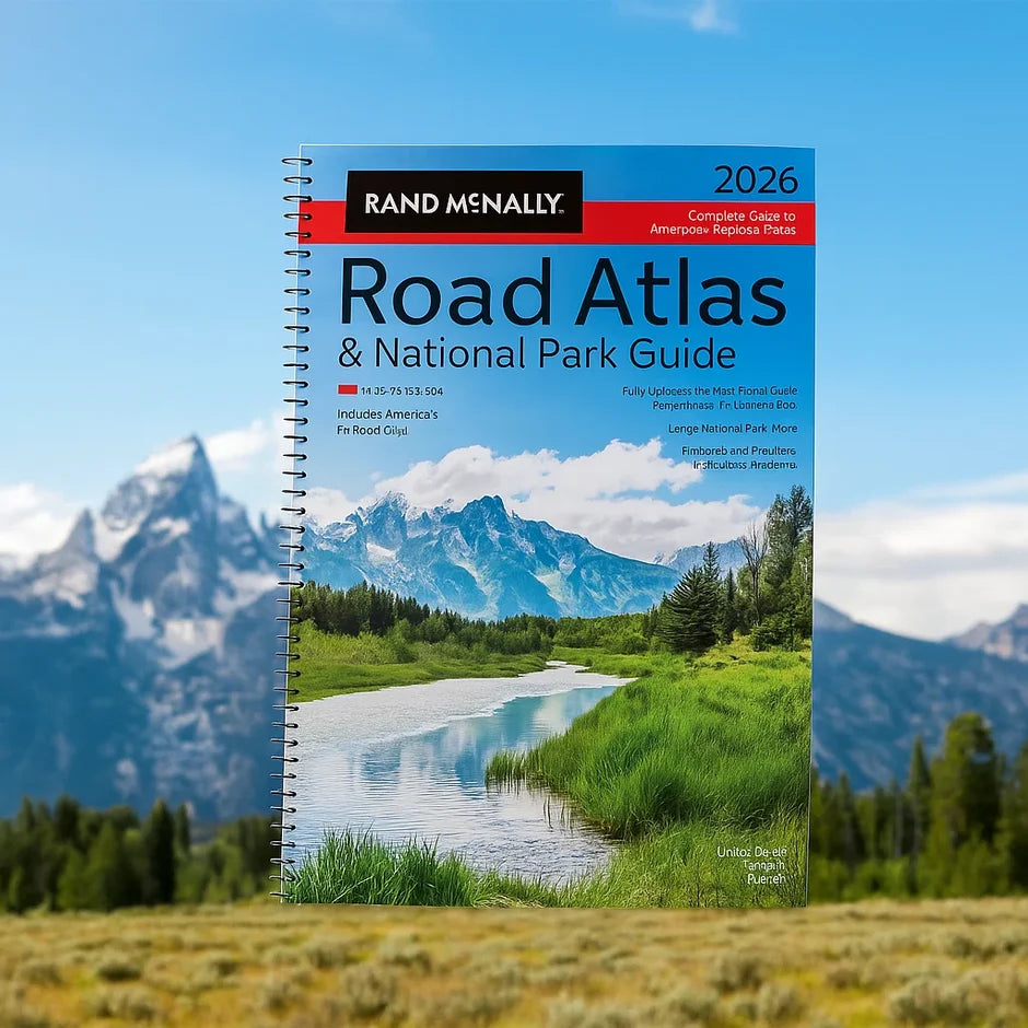
Rand McNally Large Scale Road Atlas 2026/2027
Rand McNally Large Scale Road Atlas 2026/2027
Tired of relying on a GPS that cuts out right when you need it most? Thousands of travelers want a reliable, easy-to-read backup they can trust on the road. Rand McNally Large Scale Road Atlas 2026/2027 is the practical breakthrough you've been searching for. No dead signal, no guesswork — just detailed, up-to-date maps that help you navigate confidently and discover the roads worth taking.
- Travel Confidently Without GPS
- Discover Hidden Roadside Gems
- Navigate With Easy-to-Read Maps
- Explore All 50 States, Canada & Mexico
Couldn't load pickup availability
How Does it Work?
How Does it Work?
Rand McNally Large Scale Road Atlas 2026/2027 is designed to be your trusted co-pilot for every mile, whether you're planning a cross-country trip or just trying to find the scenic route. It's built on over 160 years of Rand McNally's mapmaking expertise.
The atlas features 304 pages of detailed road maps covering all 50 U.S. states, every Canadian province, and Mexico, with maps 35% larger than the standard edition for easier reading. It includes 378 city inset maps for navigating metro areas, national park maps, updated travel resources, and driving distances, plus 7 new road trip routes and helpful details on tolls, construction, and tourism for every state and province. A page locator map helps you jump straight to the city or park you need.
More than a reference book, it becomes your everyday travel companion — the atlas that stays in the car for thousands of miles, ready whenever your phone loses signal or you simply want to take the road less traveled.
Features
Features
304 Pages of Detailed Maps Covers all 50 U.S. states, every Canadian province, and Mexico with the most current road information.
35% Larger, Easier-to-Read Maps Bigger scale maps make it simple to read directions at a glance, even while driving.
378 City Inset Maps Detailed metro navigation for hundreds of cities, plus dedicated national park maps.
7 New Road Trip Routes Curated routes and updated highway details help you discover destinations most travelers miss.
30 Day Money Back Guarantee
30 Day Money Back Guarantee
We're confident you'll love Rand McNally Large Scale Road Atlas 2026/2027 and the confidence it brings to every trip.
If within 30 days you feel it hasn't delivered the value or usefulness you expected, simply contact our support team for a satisfaction review.
Please note: once your digital download link is delivered, your purchase is considered complete — and the atlas is yours to keep at any time.



Rand McNally Large Scale Road Atlas 2026/2027
Rand McNally Road Atlas Has Guided Countless Cross-Country Trips
Let It Guide Yours Too 🗺️

Travel Confidence When You Need It Most
Rand McNally Road Atlas is here to guide your next trip 🗺️
Whether you're planning a cross-country adventure or a weekend getaway, this atlas offers detailed, easy-to-read maps to help you navigate with confidence.
Experience the freedom of stress-free travel, with hidden destinations and scenic routes at your fingertips no matter where the road takes you.


150,281+ Customers Worldwide
Over 5,000+ 5 Star Reviews
Thousands are navigating with confidence, discovering hidden gems & planning stress-free trips
Here's what travelers are saying about Rand McNally Road Atlas...

Confidence and Discovery When You Need It Most
Find Direction, Detail, and Adventure 🗺️
GPS can fail right when you need it most, but a trusted atlas never loses signal. With Rand McNally Road Atlas 2026/2027, you'll navigate every trip with confidence.
The larger, easy-to-read maps, detailed city insets, and curated road trip routes help you find hidden destinations, avoid the guesswork, and make every mile of your journey smoother. Let this be the atlas that goes with you everywhere the road leads.
Frequently Asked Questions about Rand McNally Road Atlas 2026/2027
Here you'll find answers to the most frequently asked questions. Need help? Contact our support team anytime!
What makes this edition different from a standard road atlas?
The maps are 35% larger than the leading road atlas, making them significantly easier to read, and the edition includes 7 new curated road trip routes and updated travel details.
How many pages and maps are included?
The atlas spans 304 pages, including detailed maps for all 50 states, Canada, and Mexico, plus 378 city inset maps and national park maps.
Is this atlas easy to use while traveling?
Yes. A page locator map lets you jump straight to the state, city, or park you need, and it includes helpful details on tolls, construction, and tourism for every region.
What’s inside the book?
All of our material, including the full book and additional resources, is provided in a fully digital format. That means everything you access here is available online or via downloadable eBooks — no physical shipping involved. Whether you're reading on your phone, tablet, or computer, you’ll have instant access the moment you complete your purchase or registration.
Who is this atlas best suited for?
It's ideal for road trippers, RV travelers, commercial drivers, and anyone who wants a reliable navigation backup for when GPS signal drops or fails.